Old School Americana & Nostalgia


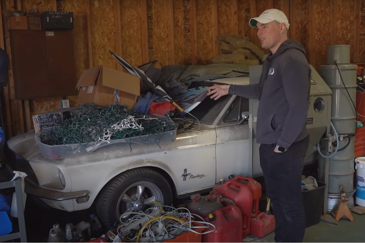
Abandoned 1968 Ford Mustang Goes From Storage to Epic Graduation Gift
| February 25th, 2024
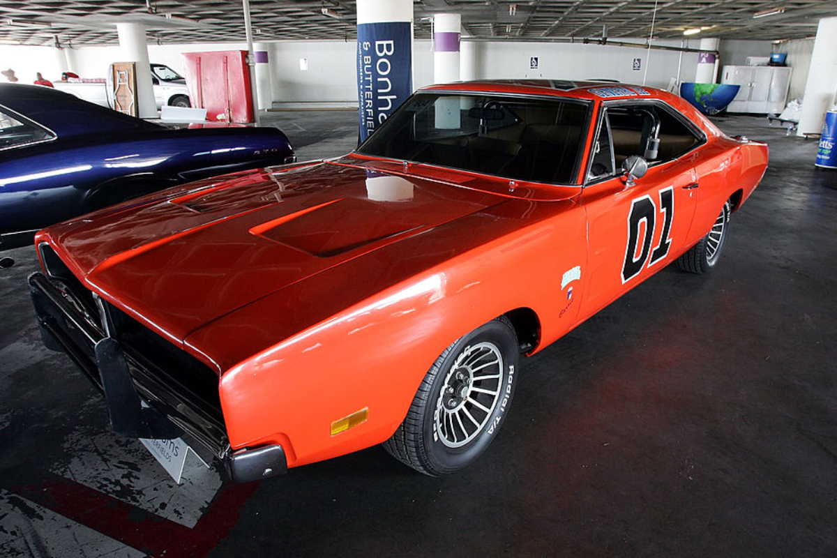
‘Dukes of Hazzard’: There’s More to General Lee’s Name Than Meets the Eye
| February 22nd, 2024
Remembering Toby Keith: A Look at the Country Star’s Vintage Car Collection
| February 06th, 2024

Andy Griffith Once Spent a Ton to Add This Classic Convertible to His Car Collection
| January 24th, 2024

Snoop Dogg’s Old School Car Collection is Perfection Perfected
| January 21st, 2024